
MOUNTAIN HUT
Καταφύγιο ΕΟΣ Βροντούς
We don't know if it has a keeper or a key: ask the local club.
- Type
- Mountain hut
- Altitude
- 380 m (from a terrain model)
- Prefecture
- Πιερίας
Directions ↗Website ↗info@eosvrontous.grView on OpenStreetMap ↗
⚠️ Before you go
Always call before you go: a keeper, a key or a bed is never a given, and details change.
Trails that pass by
OpenStreetMap trails that pass within 500 m of the refuge.
Outings to this refuge
Their programme names this refuge.
Outings 1 outing
Sun 15 Nov
Όλυμπος: Παππά Ρέμα – Καταφύγιο Κρεβάτια – Αγία ΤριάδαΕΟΣ Λάρισας · Moderate · 16 km · +652 m · 6.5–7 h
Other refuges in the prefecture
- Καταφύγιο Ανάγκης Αγίου ΑντωνίουEmergency · 2,816 m · 10 bedsΌλυμπος
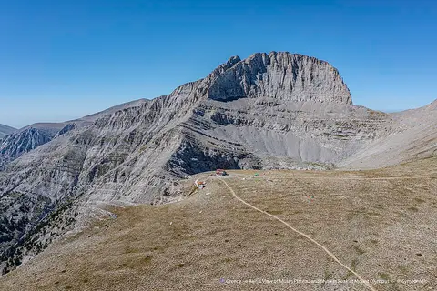 Καταφύγιο "Χρήστος Κάκκαλος"Staffed · 2,648 m · 17 bedsΌλυμπος · By arrangement
- Καταφύγιο ανάγκης ΛιβαδάκιEmergency · 2,100 m · 4 bedsΌλυμπος
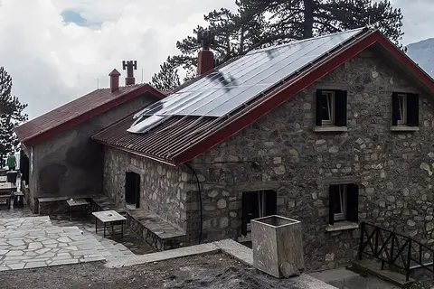 Καταφύγιο Α' "Σπήλιος Αγαπητός"Staffed · 2,100 m · 110 bedsΌλυμπος · May – Oct
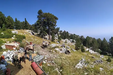 Καταφύγιο ΠετρόστρουγκαStaffed · 1,940 m · 72 bedsΌλυμπος · May – Oct
- Καταφύγιο ΣΕΟ Κατερίνης ΣαρακατσάναStaffed · 1,691 m · 80 bedsΠιέρια · By arrangement
Refuge locations © OpenStreetMap contributors (ODbL), updated 8 November 2026. Opening details from the Anevenontas index and the mountaineering clubs. Missing altitudes from the Copernicus DEM. openstreetmap.org/copyright
Found a mistake or something changed? Write to info@pezoparea.gr or fix it on OpenStreetMap.